Demo Highway with Entry and Exit Ramps
This dataset includes 4 representative images of the Automatum-Data Highway dataset. The digitized roadway length is about 700m. Various types of on-ramps and off-ramps are included to show the great diversity in the Automatum dataset.
v1.0 - 27.11.2022, 16:23:46
Complete footage time: 0.96 h
Driven kilometer by observed objects: 4826.99 km
Number of separate recordings: 4
Number of different locations: 4
Distribution of object classes in the dataset:
Used drone: DJI Mavic Enterprise 2
Maximum used flight height: 500 m
4k resolution, 30 frames per second
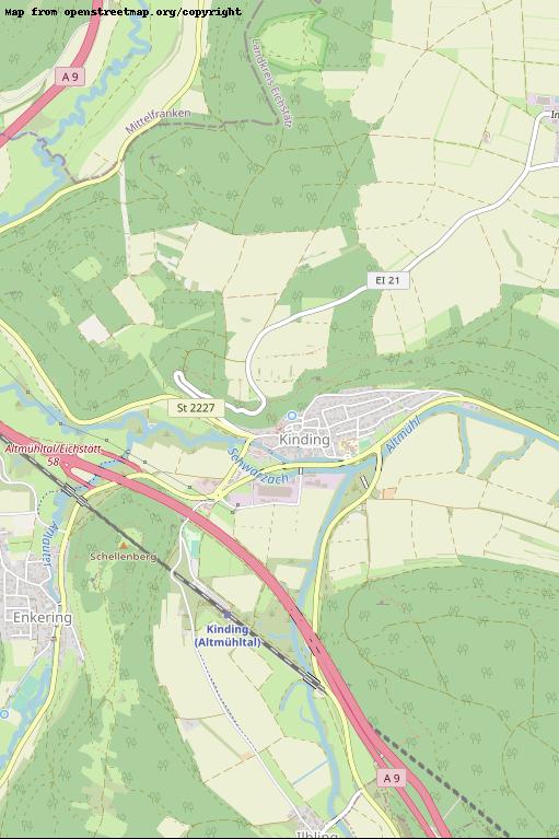
Kinding
GPS-Coordinates: 48.99704, 11.37626
0.16 h
688.60 km
1
Maximum recorded distance: 628 m
Number of recorded objects: 1097
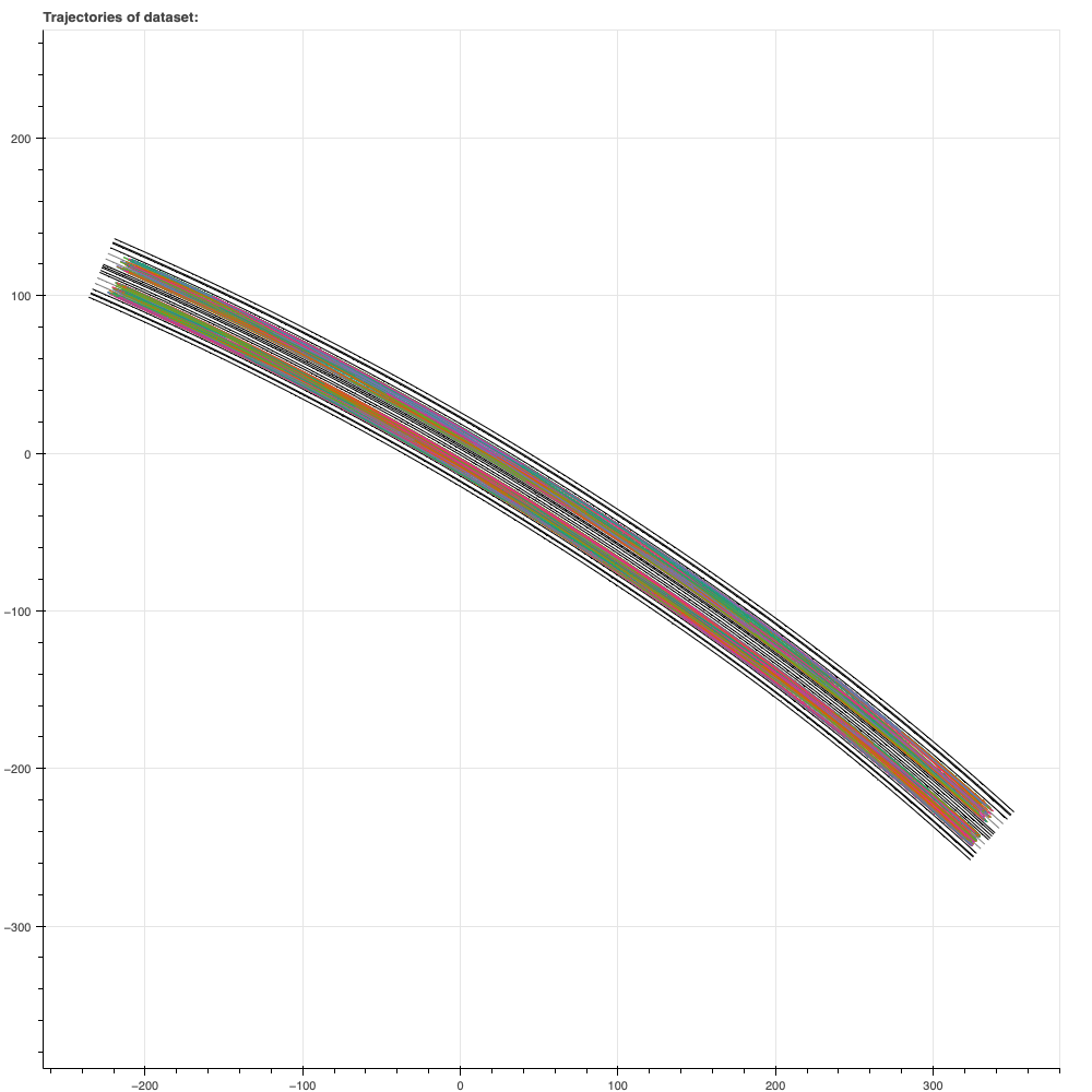
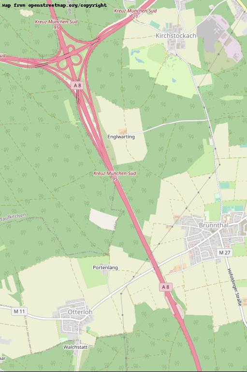
Brunnthal_Sued
GPS-Coordinates: 48.00724, 11.67135
0.24 h
1678.24 km
1
Maximum recorded distance: 641 m
Number of recorded objects: 2618

FeldkirchenNord
GPS-Coordinates: 48.14871, 11.75693
0.32 h
1188.47 km
1
Maximum recorded distance: 660 m
Number of recorded objects: 1802
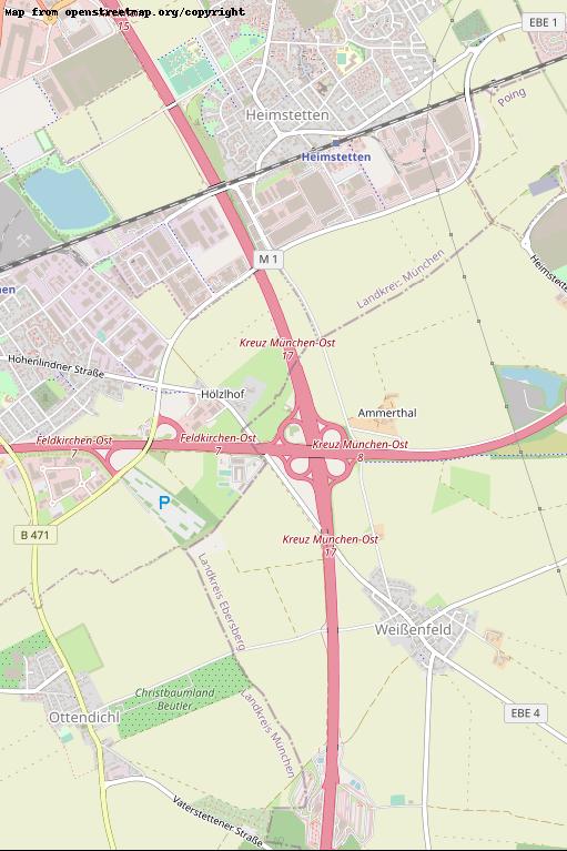

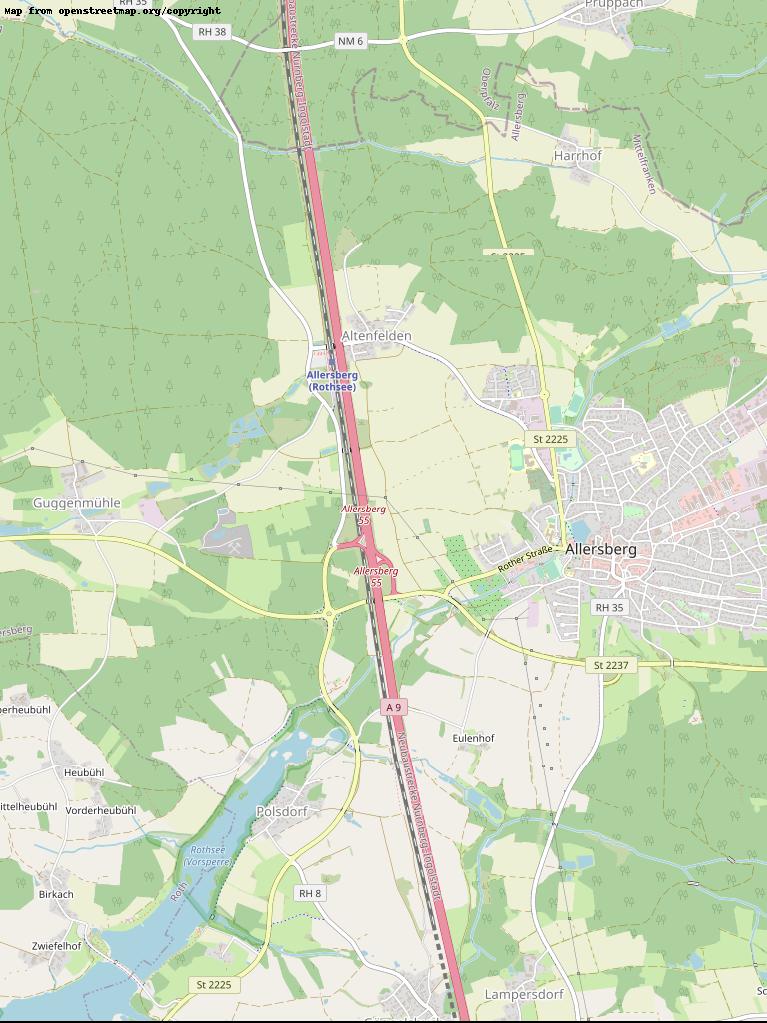
Allersberg
GPS-Coordinates: 49.25286, 11.21691
0.24 h
1271.68 km
1
Maximum recorded distance: 638 m
Number of recorded objects: 1994
