Complete footage time: 0.12 h
Driven kilometer by observed objects: 26.00 km
Number of separate recordings: 2
Number of different locations: 2
Distribution of object classes in the dataset:
Used drone: DJI Mavic Mini 2
Maximum used flight height: 120 m
4k resolution, 30 frames per second
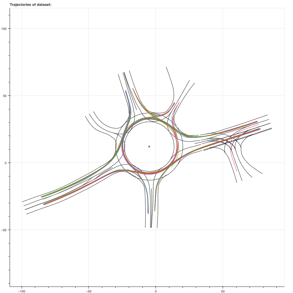
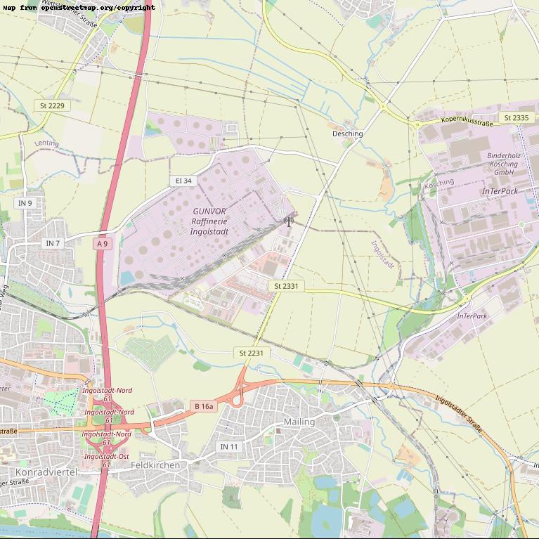
Koesching
GPS-Coordinates: 48.80870, 11.48040
0.04 h
8.03 km
1
Maximum recorded distance: 126 m
Number of recorded objects: 64


IngolstadtVOC
GPS-Coordinates: 48.78410, 11.48210
0.08 h
17.97 km
1
Maximum recorded distance: 121 m
Number of recorded objects: 148


